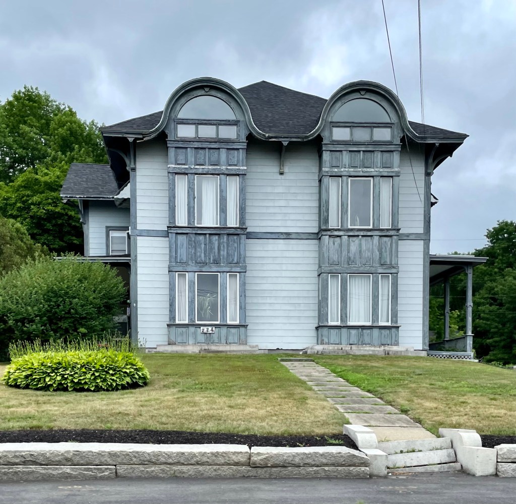
One of the most unique homes in the state of Maine has to be this stunner in the small town of Farmingdale. Perched high on a hill overlooking the Kennebec River, the mansion was built in 1855 for Folliett Lally, a wealthy Civil Engineer. In 1842, Lally was hired by the U.S. Government to map out the border between present day Maine and New Brunswick, Canada. The issue arose after the Treaty of 1783 ending the American Revolution had described the northeastern boundary of the new United States, but with unclear boundary descriptions. After the Aroostook War in 1838-9, a cold war between the U.S. and Britain (who controlled New Brunswick), the long-standing controversy was ended with the Webster-Ashburton Treaty (1842). The new boundary was proposed by the King of the Netherlands, a mediator, who granted the U.S. more of the disputed area. We have Folliett Lally to thank for mapping and charting out the present northestern boundary of the United States. Now back to the house. The home was designed by Charles Alexander, a Portland-based architect. The home was sold, likely after Lally’s death, to two men, who converted the it to a double house, with entrances on both side elevations. A brick wall was run through the center of the home separating the house in half. The building was since divided up more and apparently has eight units.
