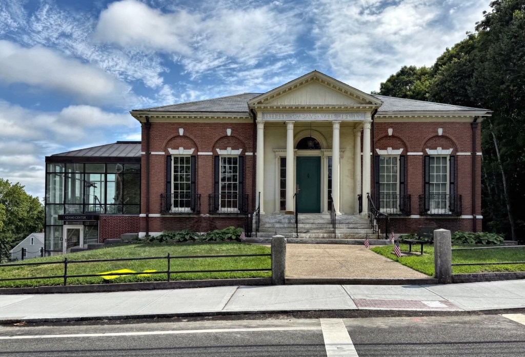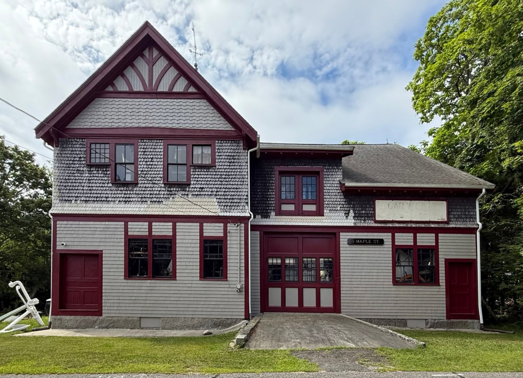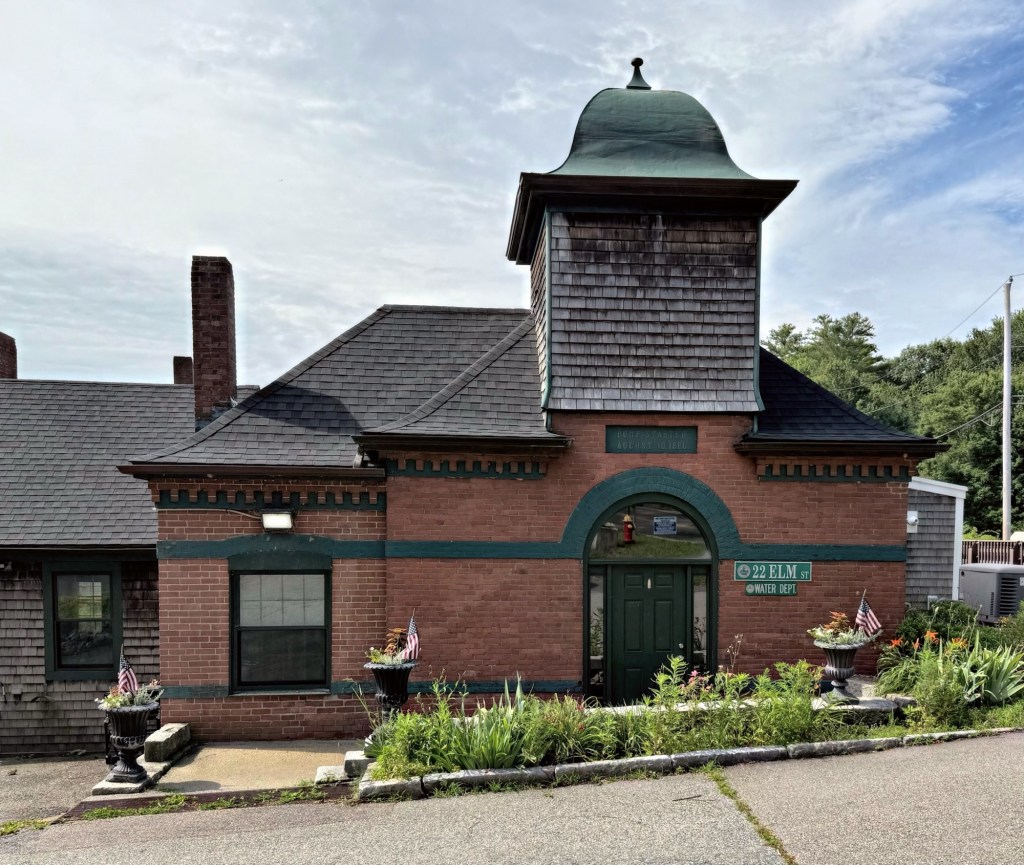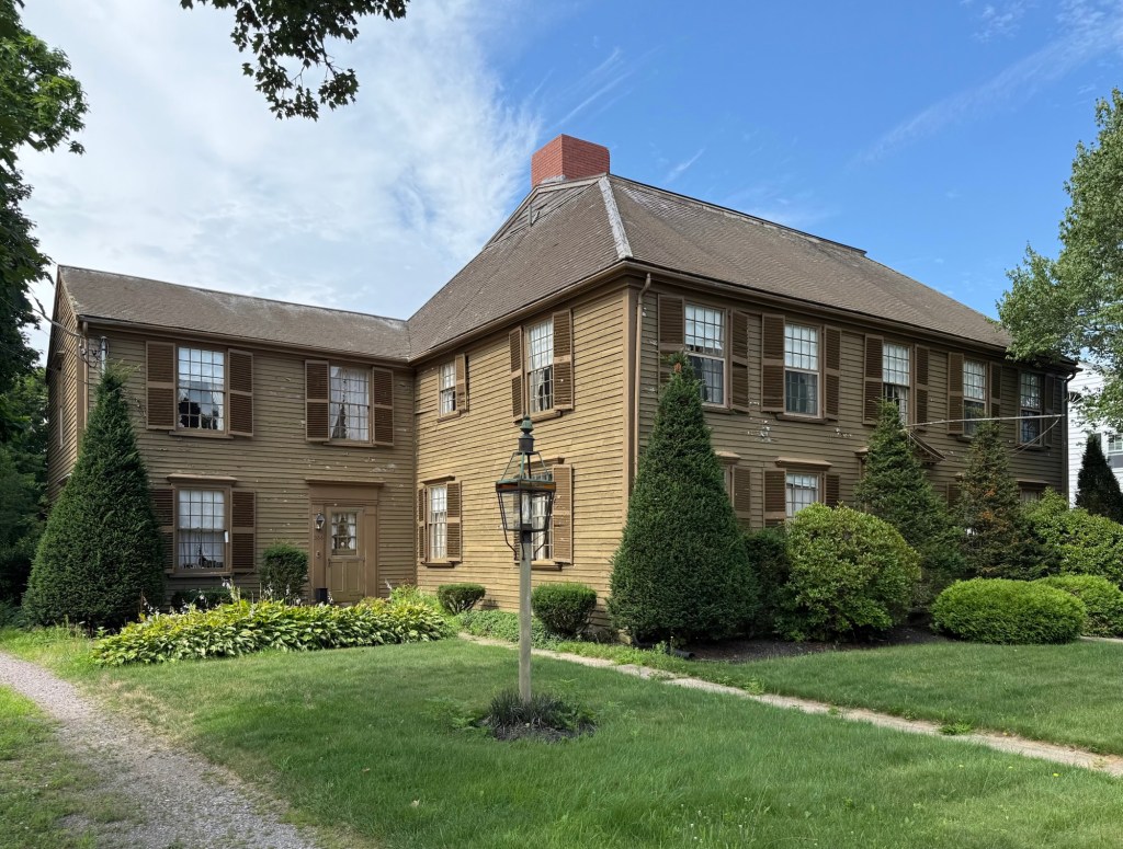
North Abington Depot // 1894

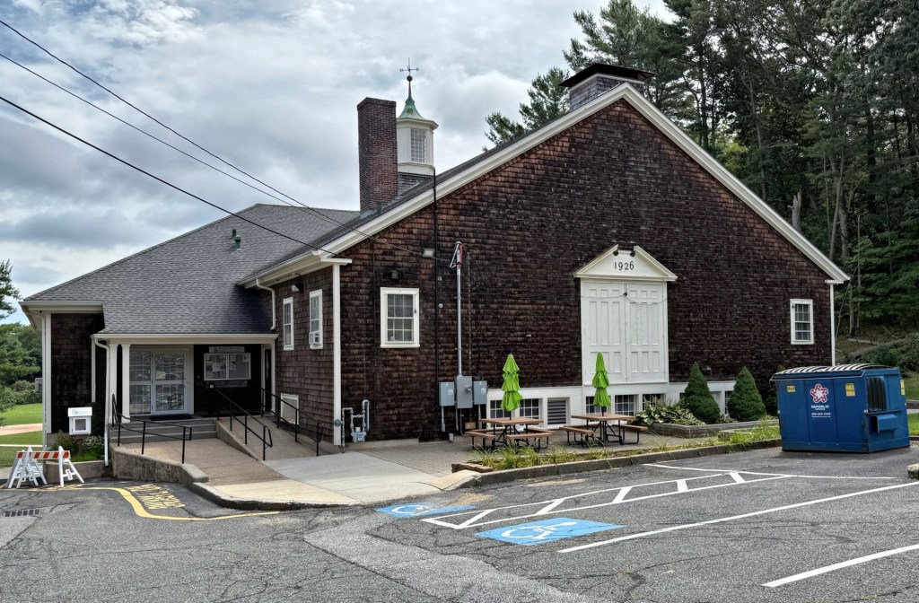
The North Abington Depot was built in 1894 from plans by notable architect Bradford Lee Gilbert in the Richardsonian Romanesque style, a design that typified many regional train stations following Henry Hobson Richardson’s commission by the Boston and Lowell Railroad. Construction on the depot began soon after the “North Abington Riot”, in which railroad laborers and local townspeople fought over the town’s right to allow a grade-level streetcar crossing over the train tracks. The railroad executives filed an injunction before the state supreme court, and Justice Marcus Perrin Knowlton, at a hearing, dismissed the bill, saying that since the Selectmen had acted within their right as representatives of the townspeople who owned the public highway, the Supreme Court had no reason to become involved. This decision was disputed by the railroad’s attorney, who advised them that this decision was not binding, which ultimately would be deemed incorrect. On August 15, 1893, fifteen local men (many of whom were sworn in as special police for the occasion) with the aid of fire hoses, withstood the onslaughts of more than 200 railroad laborers, armed wit h picks, shovels, and paving stones. After many were injured, the brawl ended. In the aftermath, the full bench of five Justices of the Massachusetts Supreme Court upheld the validity of the position taken by a single Justice, saying that any one member was in position to adequately interpret the law. This decision still stands and is quoted in similar cases in the field of jurisprudence. This depot was completed in 1894 by the New York, New Haven and Hartford Railroad as a peace offering following the North Abington train riot and a visual reminder that no corporation, no matter how powerful, is superior to the right of the people and the laws of the land. 

Joseph Cleverly House and Shop // 1832

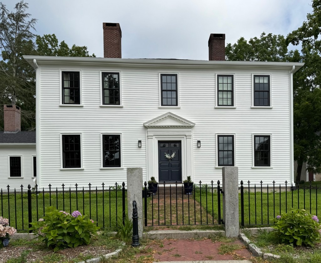
This late example of a Federal style five-bay house is located at 78 Adams Street in Abington, Massachusetts. The house was constructed in 1832 for Joseph Cleverly (1797-1888), a shoe manufacturer who married Sally Gloyd, the daughter of a wealthy shoe manufacturer in town. Mr. Cleverly built the adjacent stable and shop where he held his horses and manufactured his products. The vernacular barn/shop is a rare survivor of the type and is a visual representation as to the importance of shoe manufacturing for the town of Abington.

Island Grove Park Memorial Arch // 1912

The Abington Memorial Arch and Bridge at Island Grove Park was dedicated on June 10, 1912 as part of the town’s bicentennial observances. The Grove had been a popular meeting place for the Massachusetts Anti-slavery Society, with William Lloyd Garrison, Wendell Phillips, Abby Kelley Foster, and Lucy Stone among the many prominent reformers who spoke there. Abington resident and Civil War veteran, Capt. Moses Arnold, donated a large marker in 1909 to commemorate the abolitionist meetings at Island Grove, this act led the local GAR Post to begin planning a Civil War Memorial Bridge and Arch for the community. The 17-acre park is comprised of a peninsula jutting into Island Grove Pond, a 35-acre body of water which was created by impounding the Shumatuscacant River in c. 1700 for industry. The area has a significant history, first as an industrial site, then as an amusement park, before it became the wooded park it is now. The Memorial Arch and Bridge serves as the main entrance to the park, and was designed collectively by architect, J. Williams Beal, landscape architects, the Olmsted Brothers, and sculptor, Bela Pratt. The municipal park is a beloved local landmark and host to many events.

Abington Savings Bank // 1930

Built in 1930 for the Abington Savings Bank, this handsome Colonial Revival style building is located in the center of Abington, Massachusetts and has been a bank for almost 100 years! The bank was originally incorporated in 1853 and grew as Abington and adjacent towns saw suburban growth. The corporation hired the firm of J. Williams Beal & Sons, who specialized in commercial developments, to furnish plans for the building, resulting in the present structure. The firm also designed the Abington Mutual Fire Insurance Company Building (1931) across the street and the Dyer Memorial Library (1932), the town library. The brick and limestone building has three main bays, with the center rising above with a gable, resembling as a pediment of a Roman temple. In the gable, a shield with swags is adorned with the letters “ASB” (Abington Savings Bank) with the original incorporation date of 1853. The bank merged with others and eventually became a Sovereign Bank, and later Santander Bank, which remains in the building to this day.

Dr. Gridley Thaxter House // 1798

The Dr. Gridley Thaxter House on Washington Street in Abington, Massachusetts, is one of the most significant properties in the South Shore town, not only for its architecture, but also its owners. The house was built in 1798 for Dr. Gridley Thaxter (1756-1845), a ship’s surgeon in the Navy during the American Revolution. He married Sarah Lincoln (1761-1810), the daughter of Benjamin Lincoln of Hingham, a Major General in the Revolution and served from 1781 to 1783 as the first United States Secretary of War. Dr. Thaxter and his new bride acquired land in Abington, and moved there where he would serve as the town’s doctor. After his death, the property was inherited by Elizabeth Thaxter Hunt, the couple’s daughter, and her husband, Joseph Hunt. It was Elizabeth, who added the Italianate window hoods and a cupola (since removed) at the roof, “modernizing” the family homestead.

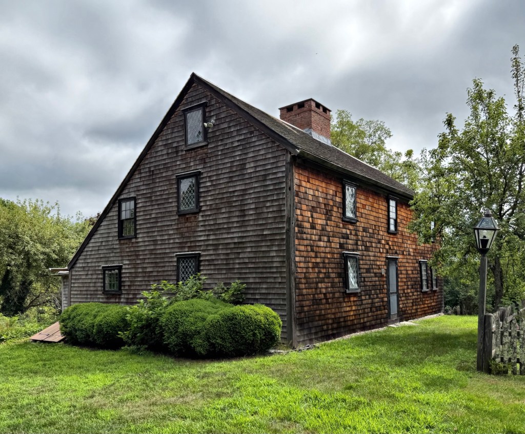
Orcutt-Ford Homestead // c.1751

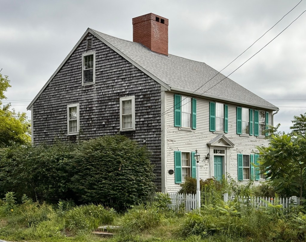
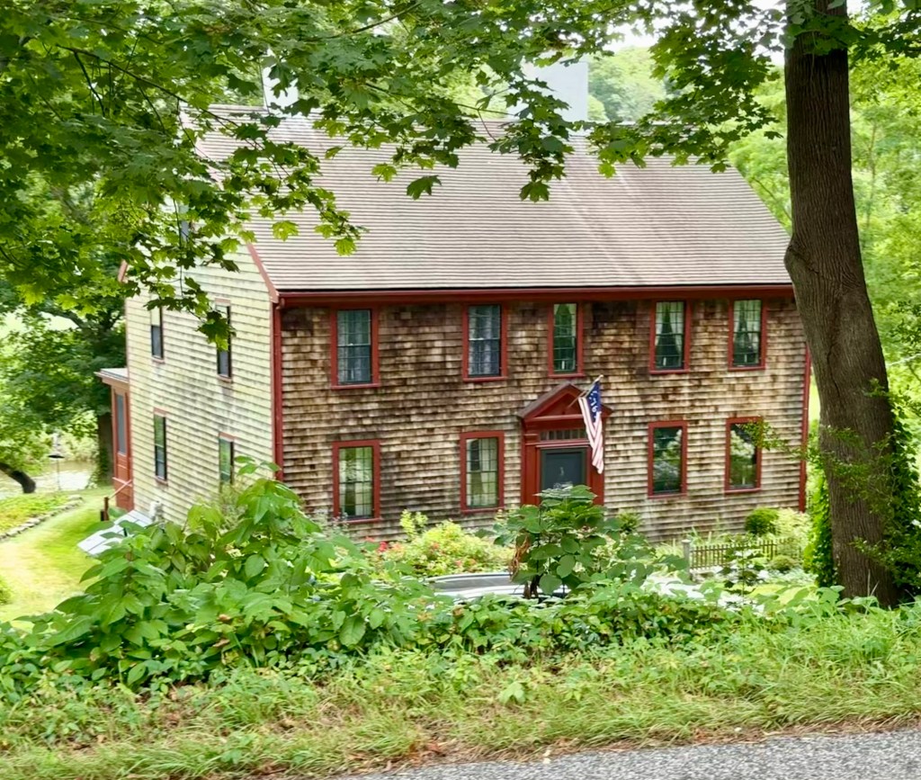
In about 1751, Emerson Orcutt (1713-1777) purchased land in North Abington, Massachusetts, and built a half cape for his family. In 1762, Orcutt sold some of the land to John Ford, who was later a Lieutenant in the Continental Army, and according to local tradition, Ford added the other half of this current Georgian Cape house, giving it the current configuration. Character defining architectural details include an entry surround with fluted pilasters, and dentil cornice band on the main facade, 12-over-12 sash windows, and the central chimney, which would have heated both sides of the house. The property remained in the Ford family for over 100 years, and has since been converted back to a single family residence. Today, the charming pre-Revolutionary cottage is one of the oldest extant houses in Abington.

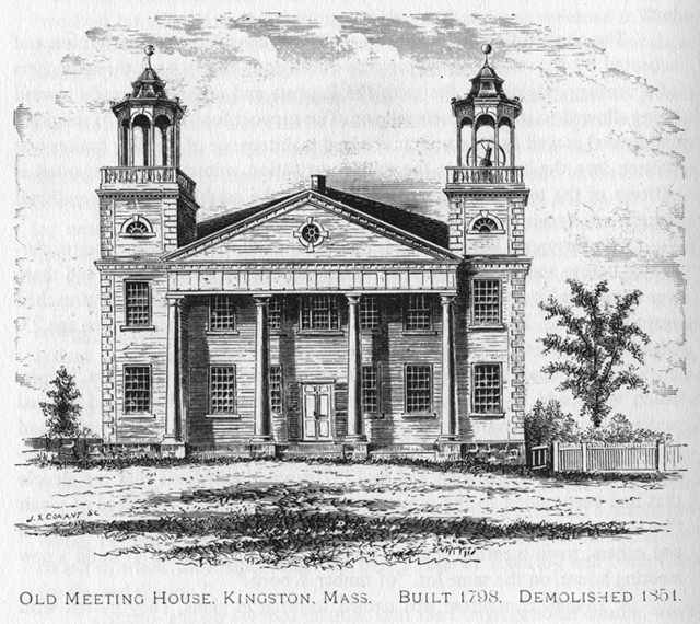
First Congregational Church of Abington – Abington Masonic Hall // 1819

The First Congregational Church of Abington, Massachusetts, was established in 1711. Besides the First Church, there were three additional churches founded in the town’s other villages: The Second Church in South Abington (now Whitman) Third Church of East Abington (now Rockland), and the Fourth Church at North Abington. This edifice was the third building of the congregation, and was built in 1819. The structure was only used as a church for 30 years until 1849, when the congregation built a new church nearby. This structure was sold and converted to a Masonic Hall and District Court for some years. Major changes to the building include the destruction of the steeple from the Gale of 1869, and in 1885, the present entryway was added, extending about 20 feet from the facade to provide a more adequate stairway to the second floor. Today, the building is used as a church for a local Brazilian congregation.

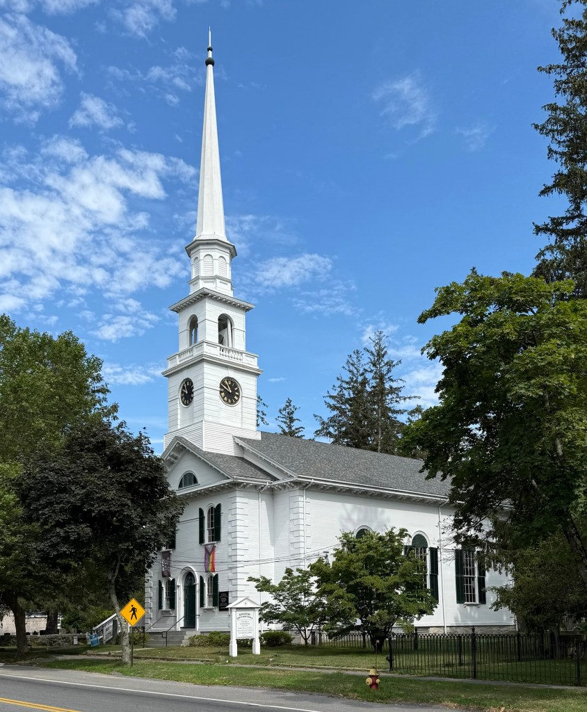
First Congregational Church of Abington // 1849

Abington, Massachusetts was first settled by Europeans in 1668 and was officially incorporated in 1712. Its namesake was is said to have been set by Governor Joseph Dudley as a tribute to Anne Bertie Venables, Countess of Abingdon, wife of the second Earl of Abingdon, who helped Dudley secure the governorship of the Colony of Massachusetts from Queen Anne. Governor Dudley noted in its decree that, “the Town be named Abingdon”. A marginal note on the document gave the spelling as “Abington” with a “t”, which has served as the spelling ever-since. At the center of town, this handsome church is the fourth edifice of the Congregational Church Society in Abington, Massachusetts, and replaced the third church, which was occupied for just thirty years until 1849, when this Greek Revival structure was built. Located a stone’s throw from its former home, this church showcases the increase in membership and relative wealth of the congregation by the middle of the 19th century. The structure with its flushboard siding and bold Doric pilasters, features an arched center entrance and multi-stage tower containing a clock and enclosed belfry.

Miles Standish Cottage // c.1890

One of the larger summer cottages on Hull Hill is the Miles Standish Cottage, which dates to around 1890. The cottage was built after the nearby Hull Yacht Club was completed in 1882, which was apparently the second largest yacht club upon its completion. Owner L. Miles Standish was the first owner and the eclectic Craftsman/Shingle style cottage has been lovingly maintained by all subsequent owners. The house appears to now have the name “Last Best Place”, which is very suitable!

John Smith House // c.1895

Hull, Massachusetts is an often overlooked town (besides Nantasket Beach Reservation), but there are some really great old houses and buildings to be found in the seaside town. This is the John Smith House on Meade Avenue in the Atlantic Hill neighborhood inland from the peninsular part of town. Development here was fairly slow, but took-off in the late 19th century when cottagers began to develop some house lots here. They were soon joined by year-round residents like John Smith, an ice merchant who built this home around 1895. Craftsman in style, the house exhibits a mix of building materials with a rough fieldstone porch and two matching stone chimneys together with wood shingle siding. The stunning stonework extends from the foundation, uniting the house to its terraced, rocky site. It is one of a handful of homes here that have not yet been altered or covered up by vinyl siding.

Old Nantasket Beach Police Station // c.1930

The area of Nantasket Beach in Hull in the late 19th century was a hotbed of taverns, thievery, and brothels. To counter this trend of unsavory uses, the Metropolitan Park Commission (MPC) of Greater Boston acquired about 25 acres of land at Nantasket, which included roughly one mile of shoreline extending north from Atlantic Hill in 1900. The initial appropriations provided for only minimal facilities, such as a bathhouse and a few incidental buildings, one of which was a waiting room for those arriving or departing from the new railroad station (since demolished) at the beach. The MPC hired the Olmsted Brothers landscape architects to design the paths and landscaping for the new park, and they worked with architects Stickney & Austin who designed many of the early buildings here. This stucco structure was built around 1930 and served as MPC offices and a police station until 1992. The building has been vacant since 1992, but a recent push to convert the nearly 100 year old structure into the Nantasket Center for the Arts is slowly materializing. Fingers crossed to see this building preserved and used for the arts!

Rochester Town Hall // 1892

In 1679, three years after the end of King Phillip’s War, an armed conflict in 1675–1678 between indigenous inhabitants of New England and New England colonists, land that would become Rochester, Mattapoisett, Marion, and Wareham was purchased from King Phillip, and immediately divided among 32 proprietors of “Old Rochester.” The first white settlers took up residence in 1680, and the Town of Rochester was incorporated in 1686. Rochester town center was formally established in 1697 when land was set aside for a meetinghouse, burying ground and training field. Rochester’s first meetinghouse, built in 1699, served as a church and town building. A larger meetinghouse was built in 1717, and a third in 1760, doubling in size every time as the town’s population grew. The old buildings were insufficient for the growing farming town, and wealthy widow Elizabeth Leonard funded half the cost of a new town hall building. The current structure on the town green was built in 1892 and is an uncommon example of a Queen Anne style town hall in Massachusetts. The building originally was painted a darker color, common in the style, but was given a bright white paint scheme to blend in with the older buildings on the Green.

Fort Revere Tower // 1903

The Town of Hull, Massachusetts was first settled in 1622 and officially incorporated in 1644, when it was named for Kingston upon Hull, England. The town juts out into the Boston Harbor, which historically had provided as a defense for approaching vessels into the harbor. As early as 1673, Telegraph Hill in Hull, was used as the highest point in the Boston harbor area from which signals could be sent warning the approach of vessels. The site was first used as a fort in 1776 to defend the port of Boston. Fort Independence was built on top of the hill in 1776-1777, to be succeeded by the much larger Fort Revere in 1903 (see next post). The first telegraph tower was built on the hill in 1827. Several other telegraph stations later occupied the site until 1938, when radio communications made the site obsolete. Though little of the original Revolutionary-era fort remains, the fort which began construction at the turn of the 20th century lasts as a stunning reminder to the importance of coastal defenses, high atop hills. At the highest point of Telegraph Hill this water tower which rises 120 feet off the ground was built in 1903 for the new Fort Revere as the first reinforced concrete water tower in the United States. At the top of the tower, an observation deck (now closed) was also used to send messages to other harbor defenses. The tower was restored in 1975 was designated an American Water Landmark in 2003. It was periodically open to the public until mid-2012 when it was closed due to safety concerns.